Rakiura Track Stewart Island — New Zealand’s Most Southerly Great Walk
This article contains affiliate links. If you book or purchase through these links I may earn a small commission at no extra cost to you. I only recommend products and companies I genuinely use or have researched thoroughly.
We didn’t plan to do the Rakiura Track Stewart Island. A friend ended up with two extra hut bookings after another person in their group dropped out — did we want to come?
We said yes before thinking too hard about the logistics. Two weeks later we were on a 20-minute Stewart Island Flights plane over the Foveaux Strait, the weather breaking down around us, the small aircraft doing exactly what small aircraft do in a building southerly. Excellent.
That accidental yes turned into our first NZ Great Walk — we’d done the Three Capes Track in Tasmania in 2017 and the Old Ghost Road in 2021, but this was our introduction to the Great Walk system specifically. We did this in February 2023.
What Is the Rakiura Track?
The Rakiura Track is a 32km circuit on Stewart Island/Rakiura, New Zealand’s third island, hanging off the bottom of the South Island. It’s one of New Zealand’s eleven Great Walks and can be completed as an intense day-hike or a more relaxed three-day adventure.
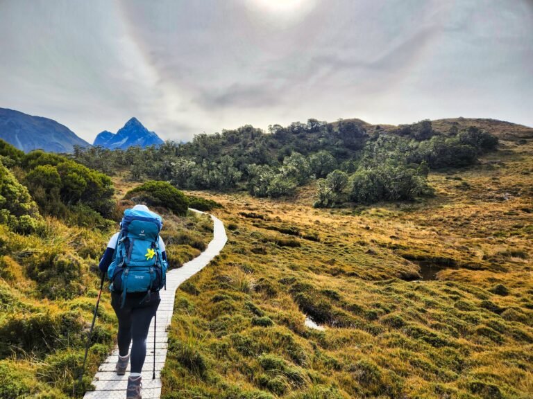
At 32km long with perfectly spaced DOC huts and campsites, it is one of the most achievable of New Zealand’s Great Walks and is accessible to people of most levels of fitness. It’s also the shortest — and the most southerly. The track passes through coastal forest, regenerating podocarp bush, pristine beaches, and some of the most untouched landscape in New Zealand.
Many adventurers are fortunate enough to encounter the Rakiura tokoeka, a local subspecies of kiwi, which are known to be active even during daylight hours here. We saw ours at night, stumbling through the bush on a guided tour — but that’s part of the story.
Getting There — The Adventure Starts Early
Stewart Island is reached one of two ways: a one-hour ferry from Bluff, or a 20-minute flight from Invercargill with Stewart Island Flights.
We flew. From Auckland to Invercargill, then a tiny plane over the Foveaux Strait as the weather closed in. The crossing was bumpy in the way that reminds you exactly how much open water lies between the South Island and the Antarctic. The views of the strait below — grey-green water, whitecaps, the island appearing through cloud — were worth every moment of turbulence.
We arrived the day before starting the track, which we’d recommend to anyone. Oban, Stewart Island’s only settlement, is a 30-minute walk from one end to the other. It has a pub, a Four Square, a DOC office, and a particular quality of quiet that cities never manage.
That evening we joined a kiwi tour — out into the harbour by boat to spot albatross, then onto a smaller island at dusk to search for kiwi in the dark. An hour of stumbling through the bush with torches, following a guide who knew exactly where to look. We found one — a Rakiura tokoeka, large and unhurried, entirely unbothered by a bunch of tourists crouching in the dark around it. Seeing a kiwi in the wild for the first time is one of those moments that earns a place on the list.
Day 1 — Oban to Port William Hut
Distance: ~13km from Oban (8km from Lee Bay) | Time: 4–5 hours | Character: Coastal, forest, beach
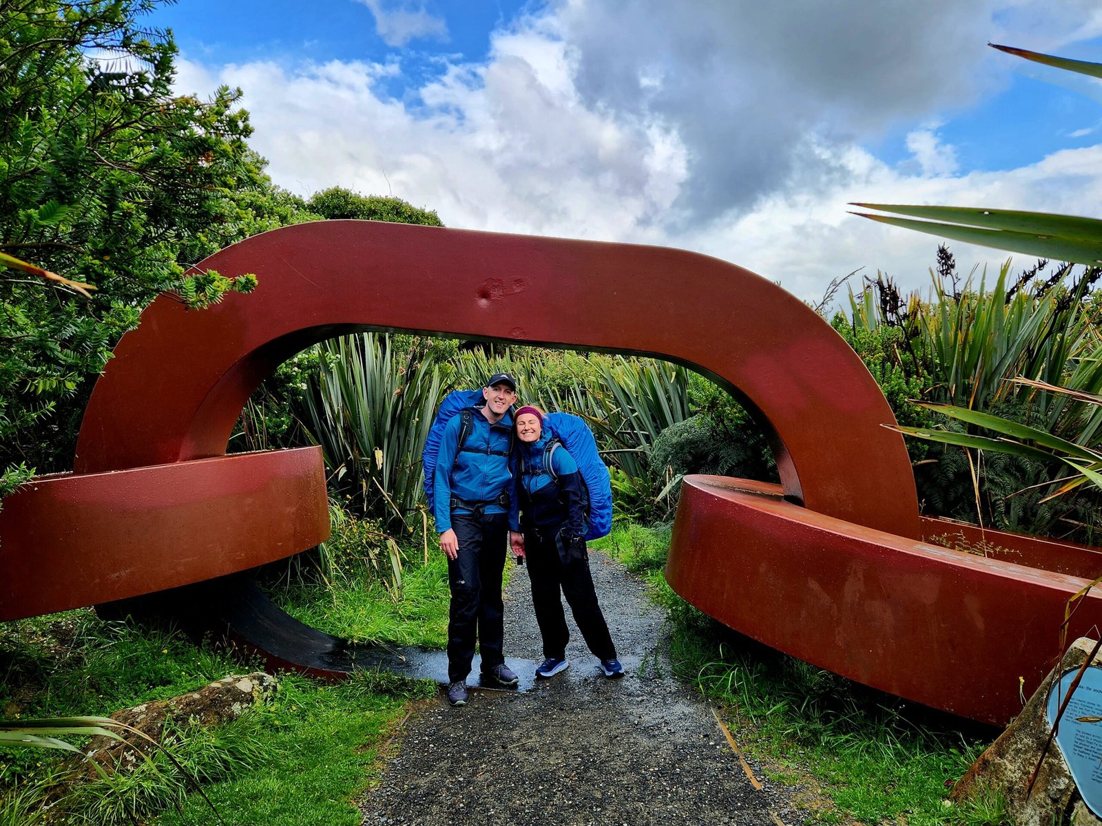
We walked from Oban to the official trailhead at Lee Bay — adding 5km to the day but giving us the full experience of the island’s road before disappearing into the bush. The rain came with us, steady and southerly, right to Lee Bay where our friends were waiting. They’d flown over from Invercargill that morning on a flight with even more weather than ours. They were looking a little green.
The rain stopped at Lee Bay, as if the track had been waiting for us to arrive properly before letting us in.
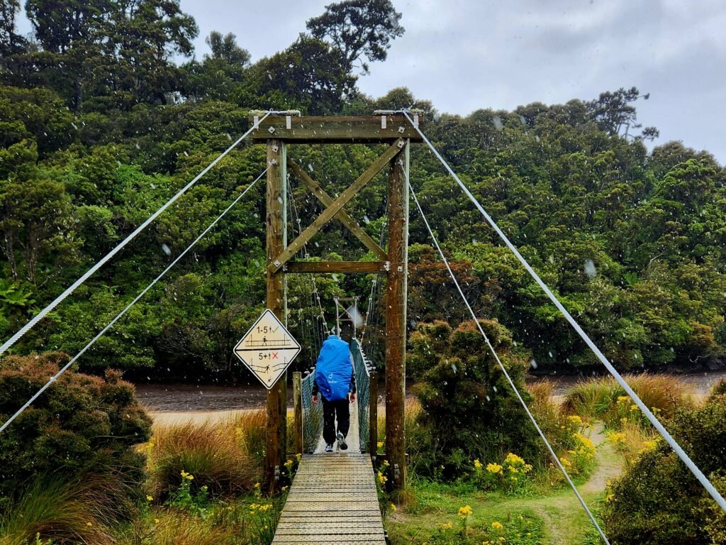
The track follows the coast from Lee Bay north to Port William Hut, passing pristine beaches and coastal forest with views back across the harbour. It’s easy walking — this is the Rakiura’s gentle introduction, designed to settle you into the rhythm before the bush closes in on day two.
The southerly came and went in squalls throughout the day. The Southern Ocean doesn’t do mild in February. We arrived at Port William Hut with damp jackets and good spirits, and the next morning the island looked exactly as it does in every photo — clear water, white sand, tītī circling overhead.
Day 2 — Port William Hut to North Arm Hut
Distance: ~12km | Time: 5–6 hours | Character: Dense southern bush, boardwalk, mud
One of our group decided over breakfast that she wasn’t feeling right and arranged a water taxi back to Oban. No drama, genuinely the right call — the water taxi is there exactly for this situation, and the track goes on regardless.
The remaining four of us set out into the bush.
Day two is the longest and most demanding of the three. The elevation gain across the full track is 1,248m, with much of it concentrated on day two as you cross from the coastal section into the interior forest and then back down to North Arm.
The bush on this section is extraordinary — dense, dripping, impossibly green. The southern beeches give way to podocarp forest and the track narrows through undergrowth that feels genuinely wild. It also gets boggy. We’d been told that Stewart Island hadn’t seen rain for weeks before we arrived and the islanders were glad for what we’d brought with us the day before. The track showed it — several sections were more puddle than path, and navigating the wet boardwalk sections required attention.
The mud is part of the Rakiura Track experience. Embrace it.
North Arm Hut sits at the head of Paterson Inlet — a long arm of sheltered water with forested hills on every side. Arriving there in the late afternoon, with the light going gold through the trees, was one of those hut arrival moments that reminds you why you do this.
Day 3 — North Arm Hut to Oban
Distance: ~11km to Fern Gully (plus ~2km road walk to Oban) | Time: 4–5 hours | Character: Inland bush, regenerating forest, road finish
The final day was uneventful in the best possible way. Everything went to plan. The bush continued its southern magic, the path dried out, and the mood was high in the way that final days on multi-day tracks always are — the achievement already crystallising, the aches becoming part of the story rather than a problem.
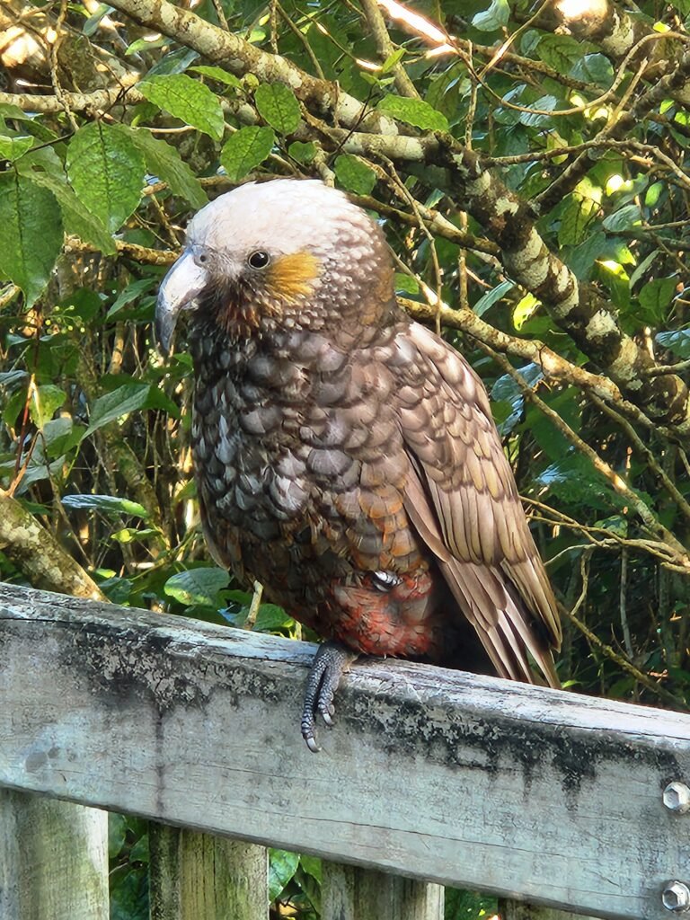
We emerged at Fern Gully and walked the road back into Oban. A kaka — New Zealand’s mountain parrot — was waiting on the balcony of our accommodation, apparently unconcerned by guests. We watched it for ten minutes before heading to the pub for fish and chips.
The flight back to the mainland was considerably less bumpy.
What the Rakiura Track Is — And Isn’t
The Rakiura Track is the quietest and most accessible of the Great Walks. It won’t challenge experienced multi-day trampers on terrain — the elevation is modest, the distances are short, and the huts are comfortable. What it offers is something different: remoteness, wildlife, and a quality of solitude that the more famous tracks rarely provide.
Starting and finishing in Oban, the track takes roughly 3 days and allows plenty of time to stop and relax on the track’s many pristine beaches, and to get up close and personal with the plentiful wildlife.
For first-time multi-day walkers it’s an ideal introduction to what the format offers without overwhelming anyone. For experienced trampers it remains genuinely worthwhile for the island, the birds, and the particular quality of southern New Zealand that you won’t find anywhere else.
Practical Information
| Distance | 32km loop (plus 5km road each end from/to Oban) |
| Duration | 3 days recommended |
| Huts | Port William (24 bunks), North Arm (24 bunks) |
| Booking | Advance booking required year-round via DOC |
| Cost | From NZD $22 per person per night |
| Season | Open year-round; Great Walk season October–April |
| Getting there | 20-min flight from Invercargill or 1-hr ferry from Bluff |
| Nearest town | Oban, Stewart Island |
| Difficulty | Easy-Moderate |
| Mud factor | High — embrace it |
More From Above the Cloud Treks
- Kepler Track — New Zealand Great Walk Guide
- Greenstone-Caples Track Guide
- How to Train for Everest Base Camp
- EBC Trek — Solo or With a Partner?
- EBC Trek Guide for Non-Mountaineers
Andrew Dillon is a data consultant, runner, and triathlete based in Auckland, New Zealand. He is trekking EBC via Gokyo with Evertrek in October 2026. Follow his journey at abovethecloudtreks.com.