Cho La Pass — What to Expect on the Hardest Day of the Gokyo EBC Route
This article contains affiliate links. If you book or purchase through these links I may earn a small commission at no extra cost to you. I only recommend products and companies I genuinely use or have researched thoroughly.
Most days on the Gokyo EBC route are hard in a cumulative, grinding way — long hours, high altitude, heavy legs by mid-afternoon. The Cho La Pass is different. It’s hard in a single, concentrated day that requires technical awareness, an early start, and genuine respect for the mountain conditions you’ll encounter.
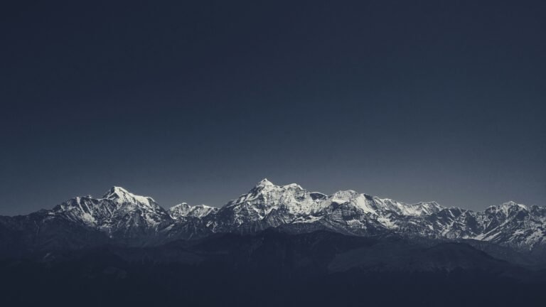
At 5,420 metres, the Cho La Pass is the highest point on the Gokyo route and one of the most physically demanding sections of any EBC itinerary. It’s also the day that most trekkers who’ve done it remember most vividly — the glacier crossing, the views from the top, and the satisfaction of the descent into the Khumbu Valley on the other side.
We’re crossing it in October 2026 with Evertrek as part of our 18-day Gokyo route. This is everything I know about what’s waiting for us.
What Is the Cho La Pass?
The Cho La Pass is the physical link between the Gokyo Valley and the Khumbu Valley. In the world of Himalayan trekking, it transforms a linear “up and back” journey into a grand loop, allowing you to see the best of both worlds without retracing your steps.
On the standard Gokyo EBC route, you approach from the Gokyo side — having spent time at the stunning Gokyo Lakes and climbed Gokyo Ri — then cross the pass to descend into the Khumbu Valley and continue towards Lobuche and Everest Base Camp. It’s the connecting piece that makes the Gokyo route feel like an expedition rather than an out-and-back.
The pass crosses the divide between the Ngozumpa Glacier — the longest in Nepal — and the Chola Glacier. That glacier crossing is what makes it different from every other day on the trek.
How Difficult Is the Cho La Pass?
The Cho La Pass is considered genuinely challenging — it passes via a snowy crossing above 5,400 metres with high mountain paths and severe climbs. This isn’t marketing language designed to make the route sound more dramatic. The difficulty is real and comes from several factors working together.
Altitude. Above 5,000 metres, the risk of altitude sickness increases significantly. The Cho La crossing happens after several days already above 4,000 metres, meaning your body is already under sustained altitude stress. The pass itself at 5,420m is higher than Everest Base Camp and only marginally lower than Kala Patthar.
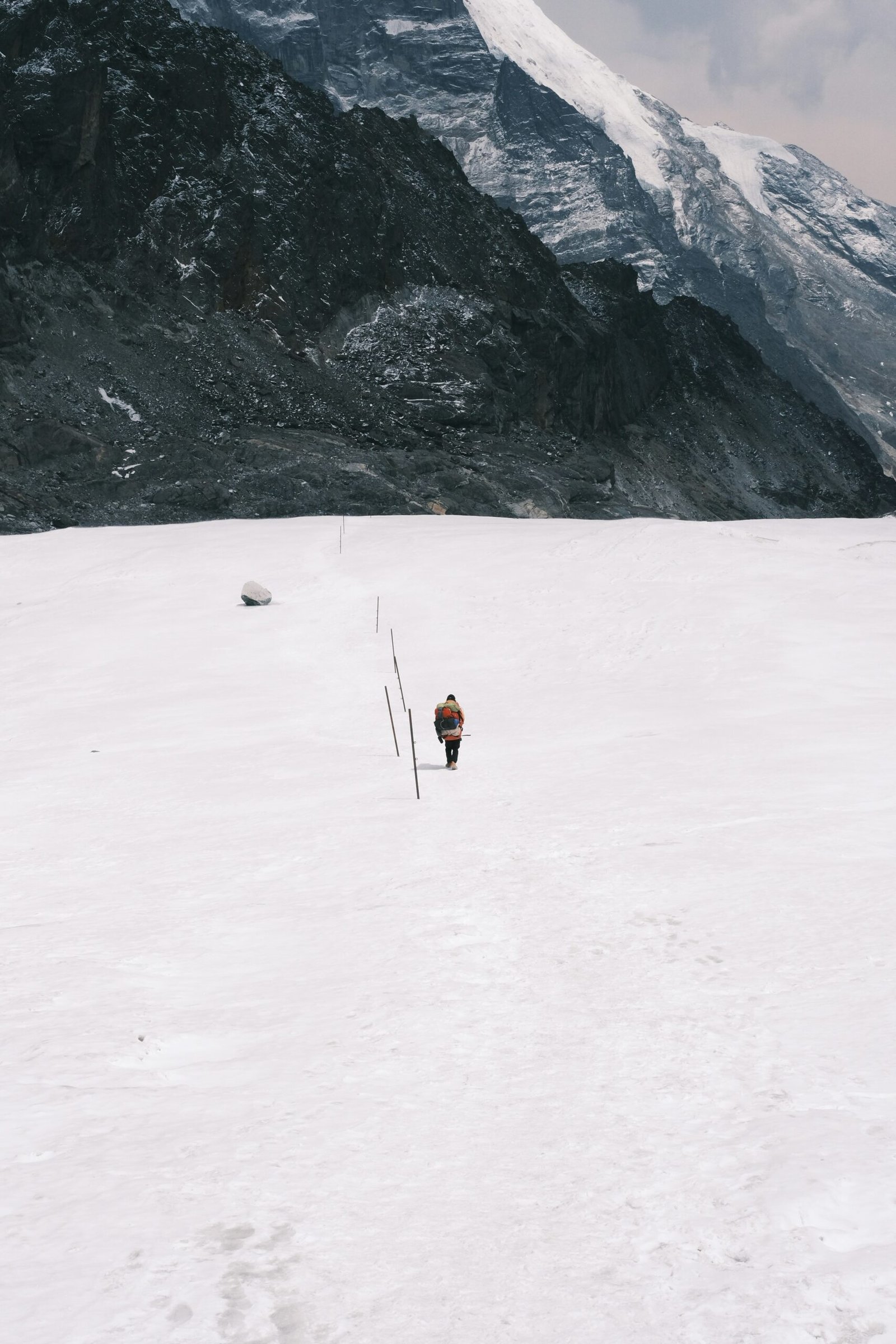
The glacier section. The upper part of the Cho La involves crossing a glaciated section that can be icy, particularly in October. Passes such as Cho La may be icy and steep — one should be cautious and carry the right equipment. There are more slippery and exposed areas near glaciers and snowfields. Your guide will assess conditions on the day and lead through the technical sections. This is not somewhere to be going without experienced guidance.
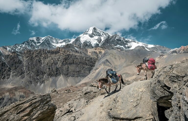
The ascent. The climb from Thangnak to the pass is steep and sustained — roughly 600 metres of vertical gain over a few hours. You’ll be doing this at altitude, likely starting before dawn, with a full daypack.
The descent. The other side drops steeply into the Khumbu Valley towards Dzongla. The difficulty continues with steep descents, rocky paths, and possibly some snow-covered sections. Tired legs on a steep rocky descent at altitude require concentration.
The Route — Step by Step
Starting point: Thangnak (4,700m)
Leave Thangnak at 5:00am. The early start is not optional — it’s safety planning. The glacier section is most stable in the early morning when overnight cold has kept the ice firm. As the day warms up, snow softens and conditions deteriorate. You want to be off the glacier and heading down the other side before late morning.
The ascent to the pass (approximately 3-4 hours)
From Thangnak the trail climbs steeply through rocky terrain before reaching the glacier. The glaciated section requires careful footwork — trekking poles are essential and crampons may be needed depending on conditions. Your guide carries the necessary equipment and makes the call on the day. Don’t try to rush this section.
The pass (5,420m)
Standing at the top of the Cho La on a clear day you have views of Cholatse, Ama Dablam, and the peaks of the Khumbu Valley ahead of you. It’s a significant moment — you’ve come from the serene turquoise lakes of Gokyo and you’re now looking into the dramatic granite world of the Khumbu. Take it in, but don’t linger too long. At this altitude, cold sets in quickly when you stop moving.
The descent to Dzongla (approximately 2-3 hours)
The descent is steep, rocky, and requires as much concentration as the ascent. The trail drops roughly 500 metres to Dzongla (4,830m). From Dzongla most itineraries continue to Lobuche on the same day, meaning the Cho La crossing day is typically 8-10 hours total.
End point: Lobuche (4,940m)
October Conditions — What to Expect
We’re crossing in late October, which is towards the end of the autumn trekking season. Weather plays a major role in the difficulty of the Cho La Pass. Strong winds, snowfall, or sudden cloud cover can reduce visibility and make the trail more challenging. Temperatures can drop well below freezing near the pass, especially in the early morning.
In October, the pass is generally clear but snow is possible — particularly later in the month. Early October crossings are typically more reliable than late October. Our itinerary has us crossing in the second half of October, so we’re prepared for the possibility of snow on the upper section.
Weather conditions on the Gokyo Cho La route are always changeable, with cold temperatures and the possibility of snowfall especially at higher altitudes. Your operator’s guide will have current trail intelligence and will make the decision on whether conditions are safe to cross. Trust their judgement — local knowledge of when to push and when to wait is exactly what you’re paying for with a guided trek.
How to Prepare for the Cho La Pass
Build your acclimatisation properly. Hiking to Gokyo Ri (5,357m) the day before the pass primes your lungs for the altitude of Cho La without the weight of a full pack. On a well-structured itinerary like Evertrek’s, this is built in. On a rushed itinerary it isn’t — another reason why shorter packages carry more risk.
Start monitoring your SpO2 from Namche. Your blood oxygen saturation trending down over successive nights at altitude is an early signal to act on before you’re standing at 5,420m. The Garmin Instinct 3 Solar handles this for me throughout the trek — see the tech article for details.
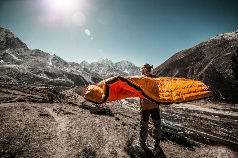
Have your layers accessible, not packed. The temperature at the Cho La top before dawn is well below zero. You need your down jacket, gloves, and hat reachable without rummaging through your daypack. Organisation matters on this day more than any other.
Trekking poles are non-negotiable. Both ascent and descent involve terrain where poles make a significant difference to stability. We’re carrying Fizan Compact Pro poles — lightweight, strong, and proven on the Kepler Track.
Accept that it might not go to plan. Weather can close the pass. If your operator decides conditions aren’t safe, you may need to wait a day or take an alternative route. Flexibility in the itinerary is crucial — build this into your mental model before you go rather than arriving with a rigid expectation.
Why It’s Worth It
The Cho La is the reason the Gokyo route feels like an adventure rather than a trek. The classic EBC trail is spectacular, but it’s also heavily trafficked and relatively predictable. Adding the Gokyo Lakes and the Cho La Pass crossing turns it into something more — a genuine high-altitude expedition with a technical element that most EBC trekkers never experience.
The trails between Gokyo and Lobuche are significantly less crowded than the main trail. You get a perspective of Everest and Lhotse from Gokyo Ri that the main trail simply cannot match. Crossing a high pass adds a dimension to your Himalayan experience that changes the character of the entire trip.
We chose the Gokyo route partly for this. Not because we wanted to make it harder for its own sake, but because we wanted to come home having done something we’ll remember for the rest of our lives. The Cho La Pass looks like that kind of day.
Practical Summary
| Altitude | 5,420m (17,782ft) |
| Start point | Thangnak (4,700m) |
| End point | Lobuche (4,940m) |
| Total distance | ~10km |
| Total time | 8–10 hours including descent to Lobuche |
| Difficulty | Challenging — glacier crossing, steep ascent and descent |
| Best season | October and April/May |
| Guide required | Yes — glacier navigation requires local knowledge |
More EBC Planning Guides
- EBC Trek Guide for Non-Mountaineers
- Gokyo Lakes — What to Expect
- Altitude Sickness on the EBC Trek
- How Difficult is the EBC Trek?
- Guided vs Independent EBC Trek
Andrew Dillon is a data consultant, runner, and triathlete based in Auckland, New Zealand. He is trekking EBC via Gokyo with Evertrek in October 2026. Follow his journey at abovethecloudtreks.com.